In a previous post discussing new trails at Moreau Lake State Park I mentioned the idea of hiking a route I referred to as the "grand tour". With the new trails around Lake Bonita I figured it would be possible to walk a big loop that would cover around 15 miles. That was a pretty good estimate. I walked the route last weekend and it went for 14.3 miles with over 3000 feet of cumulative elevation gain.
 |
| The route captured using GPS. The red line is the Moreau State Park boundary and the blue line represents the route. Lake Bonita is seen at the lower left and the trailhead is at the upper right (where the blue lines of the route converge). I parked on Spier Falls Road at the informal trailhead at Mud Pond. The yellow line covers four miles. That's the distance as the crow files from the starting point to Lake Bonita. The Google Earth elevation profile help to explain why I was so tired at the end of the day. The low point is at 400 feet and the high point at just over 1200. It's the ups and downs in between that get you. Note to self for the next time I want to try this. It's NOT an easy walk. |
There's nothing special about this route and, at one time or another, I've previously walked every inch of these trails. But, like many hikers, I prefer routes that loop so a long looping route with lots of interesting scenery and a 20 minute drive to the trailhead just had to be done. I also figured it would be a good shakedown for tougher trips I might try later in the season.
It's easy to underestimate the trails at Moreau Lake State Park and the "grand tour" turned out to be kinda grueling. Somehow I had forgetten about the relentless ups and downs that characterize the trails and I hadn't planned for the bursts of rain that punctuated the day. The rain made the trails a little slick which meant that a tiny bit of extra energy was needed for every step. You might imagine that I'd learn from days like this but the evidence indicates that this is unlikely.
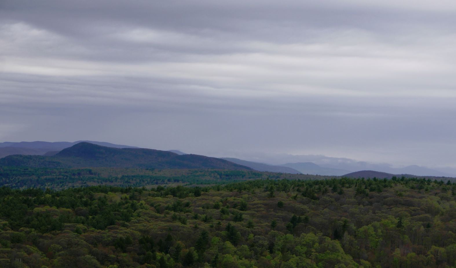
 |
| Looking east from the Moreau Lake Overlook. Southern Green Mountains just visible in the distance. I've taken similar shots from this spot many times but this is one of my favorites. A brief downpour rolled through shortly after I shot this picture. |
But this is not complaining. I'd go again tomorrow if I could get away. My legs complained. My feet complained. And the next morning pretty much all of me complained. But I got exactly what I wanted. A seven plus hour walk through the varied and always interesting forests of MLSP. It was a grand tour.
 |
| The other side of the ridge, looking west towards the Adirondack foothills. The water in the foreground is the reservoir backed up by the Spier Falls dam on the Hudson. The Turkey Vulture is a bonus. |
 |
| I couldn't decide which of these shots I liked better. The one with the closer view of the Turkey Vulture or the one with more background. So you get both. |
 |
| Looking northwest towards the southern Adirondacks. |
 |
| A small forest fire singed a few acres last spring (2016). The larger trees survived and blueberries and other post-fire opportunists will be abundant this summer. |
 |
| More of the burned area in the foreground and the Spier Falls dam behind. |