Leaving the Rock Pond trailhead on Durant Road (Blue Mountain Lake) this route visits three interesting ponds; any one of which is a worthy destination. Rock Pond, which is connected to Lake Durant by a quarter mile long flow, is less than a mile from the parking pullout. The trail crosses over the flow on a long bridge with Blue Moutain visible over the trees. This is a lovely spot and, despite being close to the road, it does not bear the scars of overuse seen in many similar places.
 |
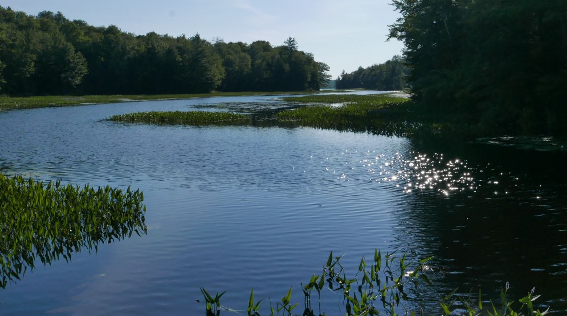
| From the bridge over the flow that connects Rock Pond and Lake Durrant. This is looking back towards Lake Durrant. |
From Rock Pond it's two miles further to Cascade Pond which,takes its' name from the rocky cascades on the outlet stream just below the pond. After crossing the steam on a narrow log bridge the trail descends slightly into a rocky flooded meadow. It's easy to lose the main trail here and end up at the nearby lean-to. If you find yourself at the lean-to, turn left. The main trail passes through the woods 75 yards behind the lean-to.
 |
| The bridge over the Cascade Pond outlet stream. |
From Cascade the trail soon reaches an intersection with the NLPT. Following the NLPT south brings you to Stephens Pond a little more than a mile from Cascade. Stephen's pond also has a good lean-to and it is sure to be popular with NLPT thru hikers.
 |
| Stephens Pond from near the lean-to. |
From Stephens Pond I followed the Northville-Lake Placid Trail (NLPT) south for a couple of miles. I was considering the possibility of visiting the ridiculously obsure Dish Rag Pond, But, it was two and a half miles further and continuing would have meant a 19 mile round trip instead of the 14 miles I was already committed to. Too far on a very warm and muggy day. Tiny, swampy, Dish Rag pond will have to wait.
The NLPT south of Stephens Pond passes through wild and little visited forests, some of which appear to be old or very mature second growth. One stretch passes through an uncommonly open forest with a high canopy composed entirely of hardwoods including some very large Ash specimans. At first I thought the unusual forest composition was the result of selective logging. But if that was the case stumps should be evident and I didn't see any. There are many decaying logs from large downed trees indicating a blowdown event. Based on the apparent age it's a reasonable guess that these trees might have come down in the 1995 storm. Perhaps this is an area where the winds of that day produced moderate and somewhat selective damage. That's the best theory I could come up and I'm looking for a high resolution map of damage areas to see if effects in this area were noted at the time. While searching online I did stumble on a
fascinating journal article describing the 1995 blowdown and the policy debates that followed.
I also came upon this document. Everything you could
possibly want to know about Derecho storms.
 |
| The route from Google Earth. Blue Moutain Lake Village is top left. The yellow lines are DEC trails in the area. The orange line is the route described in the article. |
 |
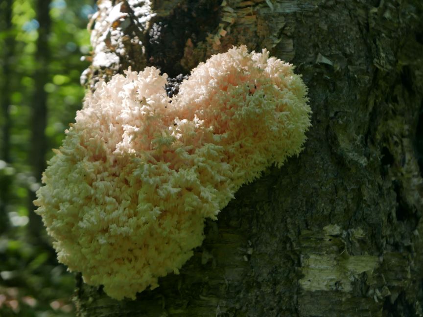
| Fungus growing on a tree near the trail. |